4.3 km, 230 m ascent 
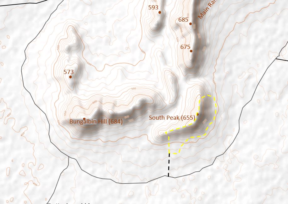
The ascent of the magnificent south peak commences following a short drive up an old exploration track. This track is easy to follow and should be fine even for 2WD vehicles. Alternatively, you may park at the junction (coordinates are first point in GPX file) where this track meets the main track that traverses the south of the range, and commence the walk from there; this will add a total (i.e. there and back) of about 1.1 km of easy walking to this route.
Heading north, you will soon be ascending the steep southern slopes at the western end of this hill. On cresting the ridge, the Bungalbin Hill massif can be seen to the NW just across the valley and the first views are also obtained over the main range ridge to the NE.
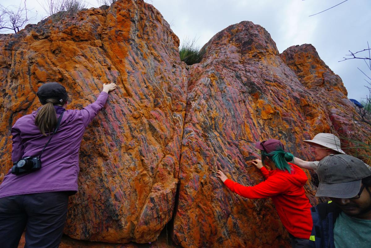
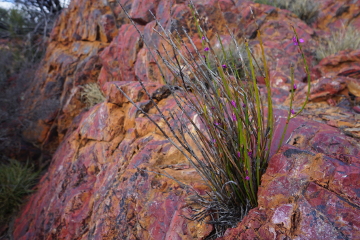
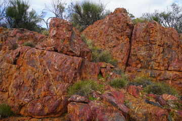
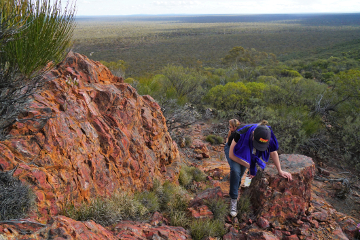
From here you head east and follow the ridge as it gradually ascends towards the South Peak summit. This mostly open ridge line is a joy to behold, with the views gradually opening up as increasing height is obtained. A steep rock band is passed about mid-way up the ridge (not difficult to ascend) that highlights the beauty of the BIF rock formation.
Just before reaching the summit of South Peak, the route turns NE. The summit itself offers limited views in various directions, but some of the best viewpoints in the entire range are located just along the ridge to the North. This area has been affected by fire activity (probably due to lightning strike) so the vegetation is all low.
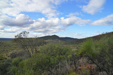
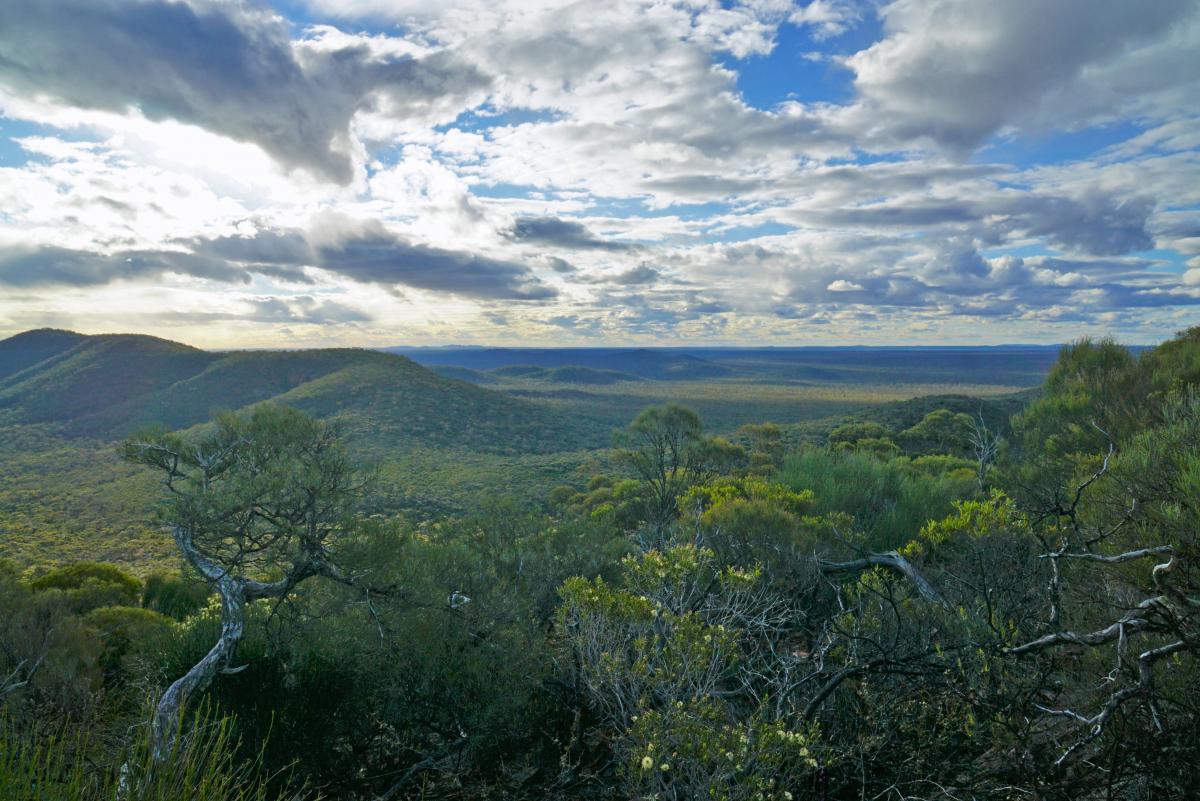
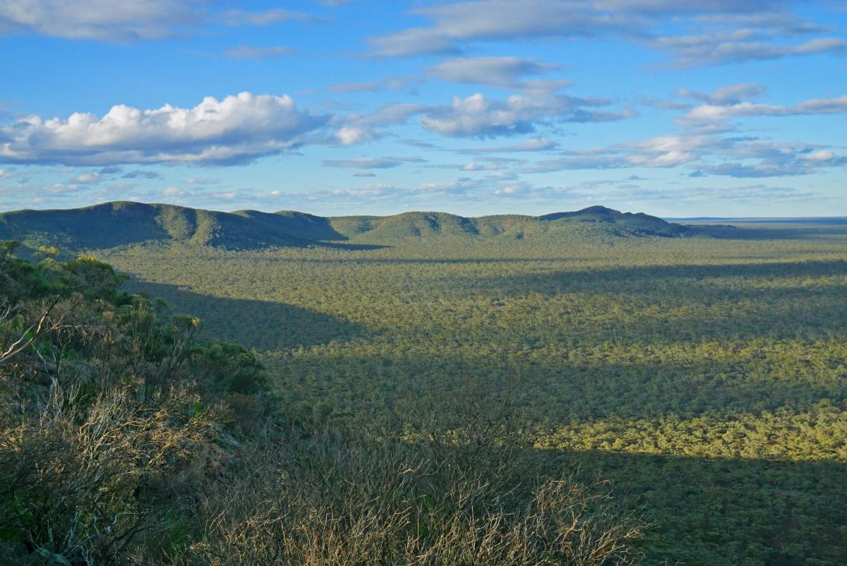
There is an outstanding panorama over the main ridge to the north/ NE, which curves in a great arc over to Highest Peak and to East Peak over 6 km away. Nearby, a magnificent panorama can also be obtained over Bungalbin Hill and surrounding hills and out as far as the Die Hardy and Mt Manning Ranges on the distant northern horizon. Savour this special moment and marvel at the unspoilt wilderness all around.
The descent initially follows the open rocky ridge in a generally northly direction but soon diverts to head directly down the east facing slope of the north ridge. The terrain is steep and rocky, with numerous large terraces to be crossed. Aim towards a prominent rock feature that should be visible on the slope below. As you climb down around this rock feature the full majesty of the stunning BIF rock is on display.
The descent continues into woodland below and once down onto the gentle lower slopes the route heads first south and then SW as it traverses the base of South Peak on its journey back to the start.